Drilling
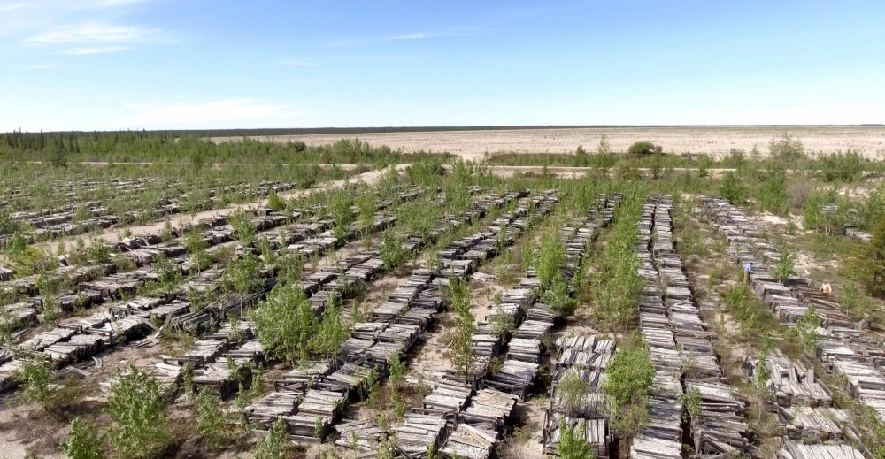
Diamond drilling has continued since the 2020 PEA with the objective of reducing the intercept spacing to approximately 30 metres within current Inferred Mineral Resource areas. This spacing is needed to convert these resources to the Indicated Mineral Resource category. To minimize the impact on the environment, drilling is mostly conducted in winter. The Company expects to complete infill drilling by H2, 2023.
Database
Since taking over the project in 2018, Osisko has recovered some 20,000 historical drillholes into a modern and highly functional database. This work includes positioning the dataset using Differential GPS (DGPS) on the basis of drill collars identified in the field. Furthermore, the entire dataset has been registered to elevation control using DGPS and a hyper-accurate LiDAR survey conducted over the property area. Core from approximately 800 drill holes has been recovered and both re-logged and re-assayed.
Data and Data Modelling
An extensive GIS database using MapInfo-Discover™ is combined with GEMS™ and Geoscience Analyst Pro™ to manage and interpret data on a daily basis and as programs evolve with new incoming data and results. Drill hole data, geology, mineralization boundaries, pit wall mapping, geophysics, LiDAR and pit bathymetry have been combined in GoCAD™ software along with detailed interpretation of some 3800 drill sections to produce a robust and dynamic 3D model for the entire property.
Recent structural analyses of all available open pits, combined with 3D drone photography of pit walls was carried out by Terrane Geosciences in 2021. This allowed for the construction of initial structural geology models which are now added to the 3D model to locate specific structural features within in the mine plan areas.
This model greatly enhances and augments mine design, hydrogeological studies and exploration.

